
CASALS lidar tests continuous swaths for 3D maps
NASA outlined progress on an airborne prototype. It aims to reduce gaps between terrain profiles; a space version still needs development.
RockGeo Editorial · Published on
Event date: 11/12/2024 · Source date: 10/21/2026
Sources accessed on 10/22/2026, 15:06 GMT
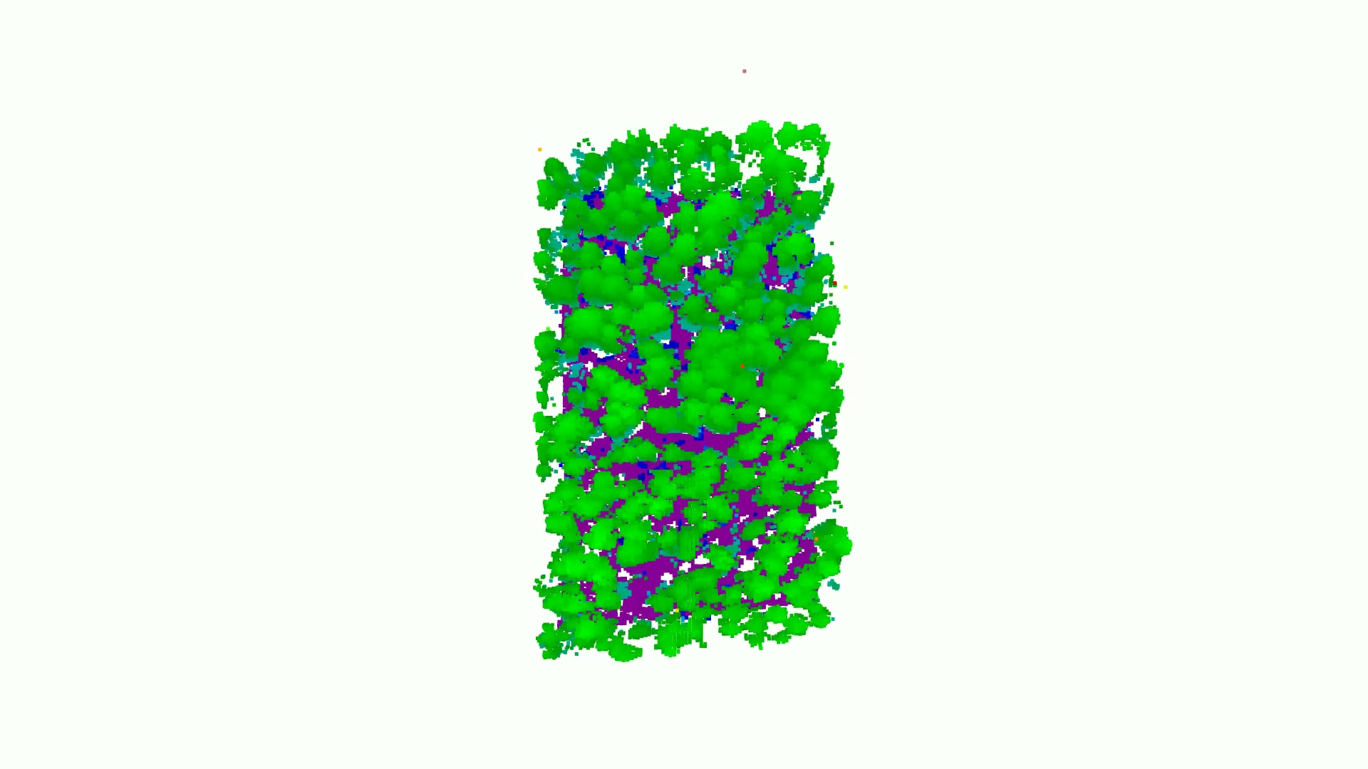
NASA — quadro de vídeo / video frame · NASA media guidelines — editorial use
NASA published an overview on 21 October 2026 of CASALS, a lidar instrument developed at Goddard to map continuous three-dimensional swaths. The technology aims to reduce unmeasured spaces between orbital-sensor profiles, but the demonstrated equipment is airborne.
The system steers pulses by wavelength differences, using an optical grating rather than motorised mirrors for this scanning. A laser centred at 1040 nanometres cycles through 256 wavelengths, corresponding to distinct positions across the observed swath.
The prototype flew on a B200 King Air in November 2024. The report describes 22-centimetre horizontal resolution at roughly five kilometres altitude. That figure characterises the airborne test; it is not a specification of orbital vertical accuracy.
The 2023 record in the NASA Technical Reports Server helps distinguish project objectives from later results. The demonstration was designed to advance hardware maturity, validate measurement performance and develop algorithms for the Surface Topography and Vegetation observing system. Acquiring heights along parallel tracks is part of that design, preceding the flight now reported.
The ASCENT campaign page gives the wider geoscientific context: contemporaneous radar, lidar and stereoimaging over different targets, to support science and modelling of space-based observation performance. Campaigns are planned on the US West and East Coasts and in Costa Rica. CASALS is listed among potential instruments alongside other topographic technologies.
The team intends to fly again in ASCENT in northern-hemisphere summer 2027. Before a space-ready prototype, it plans to widen the swath and add onboard processing. These are next steps, rather than an already operational orbital mission.