
Ruby: maps reveal lava growth beneath the ocean
March and July 2026 surveys identified a new dome at the Mariana submarine volcano. The USGS account does not confirm present activity.
RockGeo Editorial · Published on
Event date: 10/28/2026 · Source date: 10/28/2026
Sources accessed on 11/01/2026, 20:03 GMT
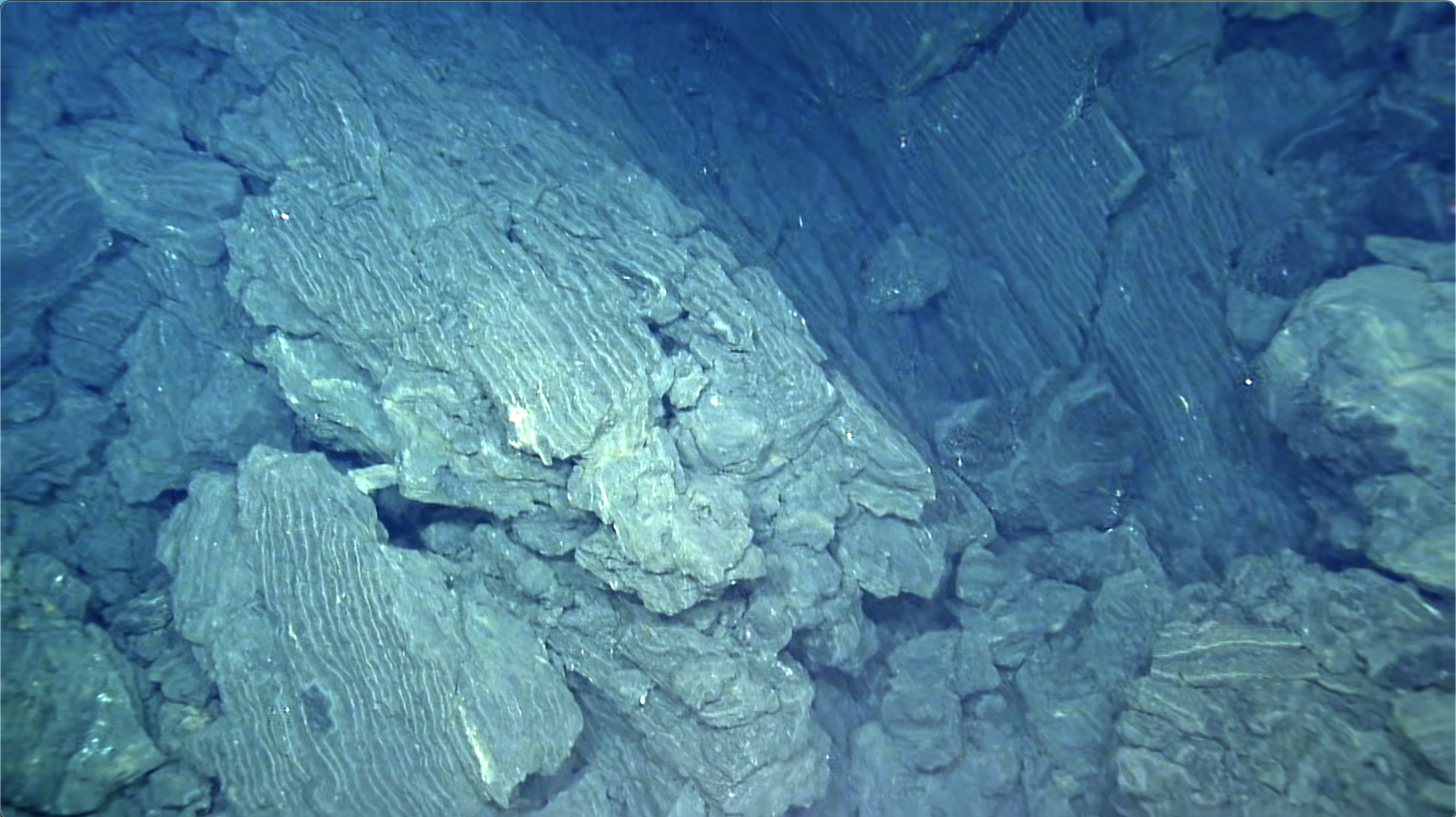
USGS / Hawaiian Volcano Observatory; ROV Little Hercules · Public Domain
Ruby submarine volcano produced lava again without the activity being recognized remotely, according to an analysis published by USGS on October 28, 2026. The article by Oregon State University’s Bill Chadwick and colleagues compares March and July surveys. Ruby is in the Northern Mariana Islands, about 50 km north-northwest of Saipan in the western Pacific.
The starting point was the explosive eruption of September 14–15, 2023. Its signals were recorded by Pacific seismometers and hydrophones more than 2,200 km away at Wake Island. Satellites showed discoloured water for two days. The subsequent silence, however, did not reveal what continued to happen on the seafloor.
In March 2026, research vessel Thomas G. Thompson remapped the volcano using multibeam sonar. The survey identified eruptive deposits, landslide scars and a new crater measuring 700 by 350 m. Before the explosion, the summit was 175 m deep; the new crater floor lay 275 m below that former summit. This height difference must not be confused with absolute depth.
In July, a new E/V Nautilus survey revealed that the floor had risen approximately 110 m since March. Direct observations by ROV Little Hercules found fresh lava, confirming extrusion rather than simple accumulation of collapsed material. Map comparisons located the change on the crater floor, where a lava dome had grown.
The NA180 expedition account published by Nautilus Live explains how the methods complement each other. Multibeam sonar documents morphology and material redistribution; the dive allows examination of exposed stratigraphy, volcanic deposits, and biological and hydrothermal changes. The vehicle provides local observations that help interpret differences measured between maps of submarine relief.
Striations on fracture surfaces in the dome lava were interpreted as likely evidence of incremental crack growth during slow extrusion. The conclusion remains bounded by the surveys: activity occurred between March and July 2026, but whether it was still continuing in July was not established. The article neither confirms a present eruption nor provides continuous monitoring; further visits are needed to track its evolution.