
Satellite shows smoke from New Guinea fires
A NOAA-20 image records smoke on 11 October. NASA reports elevated emissions, but the image and models measure different aspects.
RockGeo Editorial · Published on
Event date: 10/11/2026 · Source date: 10/22/2026
Sources accessed on 10/23/2026, 20:08 GMT
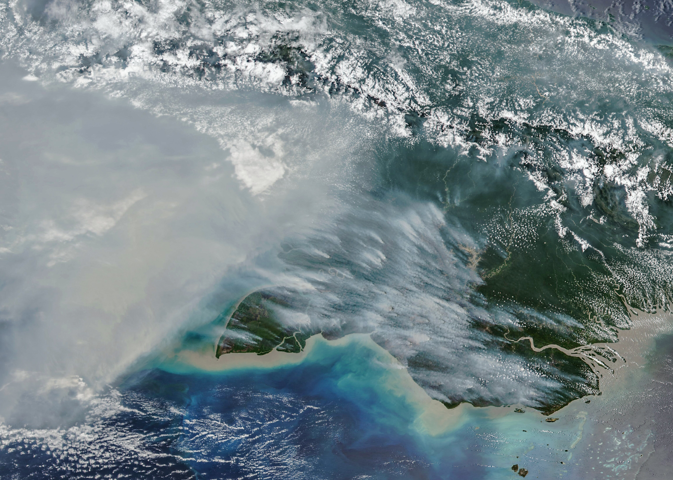
NASA Earth Observatory / Michala Garrison; NOAA-20/VIIRS · NASA media guidelines — factual editorial use
On 22 October 2026, NASA published an image of smoke over southern New Guinea, the island shared by Indonesia and Papua New Guinea. The observation was acquired by the VIIRS instrument on NOAA-20 on 11 October. Adam Voiland’s Earth Observatory report connects the fires with a landscape dried during El Niño.
According to NASA’s account, Global Fire Emissions Database (GFED) estimates indicated almost 32 megatonnes of carbon released by fires in Papua New Guinea through 17 October. On the Indonesian side, the cited accumulation exceeded 35 megatonnes. These values refer to carbon rather than carbon dioxide and are not measurements derived from the colour or extent of smoke in the orbital image.
The method helps explain that distinction. A paper by Yang Chen and colleagues, published on 15 October in Earth System Science Data, presents the near-real-time GFED5NRT extension. It uses VIIRS active-fire observations and region- and biome-specific tables to estimate burned area and fuel consumption while maintaining consistency with the GFED5 series.
Continuity matters because GFED’s historical record relied heavily on MODIS sensors. Orbital drift and their future decommissioning complicate maintaining a comparable series. The new system combines the historical record with daily estimates, placing recent extremes within seasonal and interannual variability without confusing a single satellite overpass with an entire fire season.
The authors identify uncertainties in observations, fuels, combustion and emission factors. Clouds and smoke can obscure active fires; fixed conversion factors also limit the representation of local changes. Estimates aggregated over broad areas and long periods are therefore more robust than fine-scale assessments. The accumulations cited here retain the report’s reference date and do not represent a total updated for today.