
Kīlauea episode 55 ends after about six hours of lava fountains
USGS reports that fountains ended at 19:03 GMT on October 17. WATCH/ORANGE remains; gas, volcanic fragments and hot lava still pose hazards.
RockGeo Editorial · Published on
Event date: 10/17/2026, 19:03 GMT · Source date: 10/17/2026
Sources accessed on 10/17/2026, 20:01 GMT
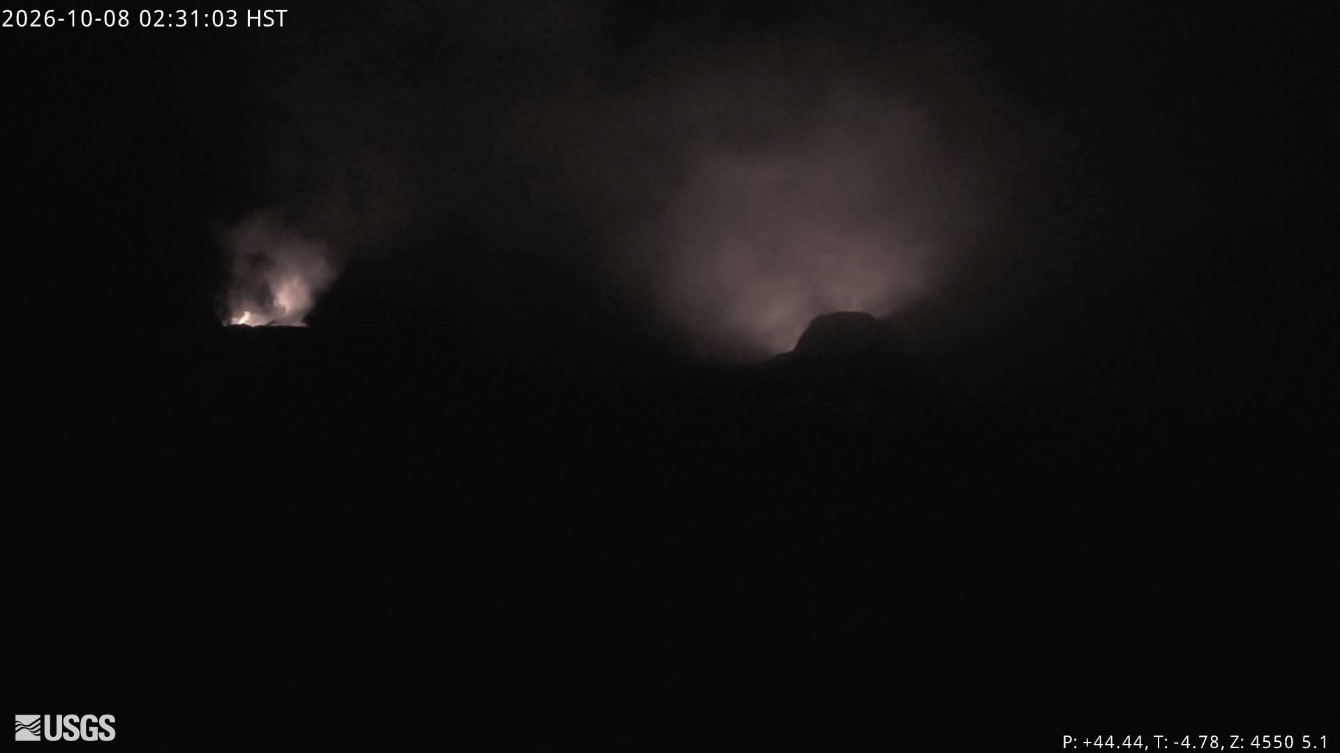
USGS / Hawaiian Volcano Observatory — V3cam · Public Domain
Episode 55 of lava fountaining at Kīlauea ended abruptly at 19:03 GMT on October 17, 2026, according to the USGS Hawaiian Volcano Observatory. Notice 2026/H489 describes about six hours of continuous activity and retains WATCH/ORANGE. The ending concerns this episode within the ongoing Halemaʻumaʻu eruption, not a declaration that the entire eruption has ended.
Initial notice 2026/H488 recorded the start at 13:19 GMT. At that time fountains reached approximately 30–45 metres, with uncertainty about whether they would attain heights comparable to earlier episodes. This measurement describes the initial phase and should not be reported as the maximum for the whole episode. The closing notice says more details will follow in the next report.
Both notices place eruptive vents and lava flows inside Halemaʻumaʻu crater in Hawaiʻi Volcanoes National Park. Even after fountains stop, water vapour, carbon dioxide and sulfur dioxide emissions can remain locally hazardous downwind. SO₂ reacts in the atmosphere and contributes to vog, the haze of volcanic air pollution.
The final bulletin also highlights glassy fragments that can be remobilised by wind and lava that remains hot and may move slowly in subsequent days. Crater-wall instability, cracks and rockfalls remain hazards. A pause in fountains therefore does not authorise access to restricted areas or establish that hazards have disappeared.
To understand flows and deposits, HVO combines field observations, research and continuous monitoring. Its documentation explains that earlier lava-flow records and detailed digital elevation models help forecast lava paths. Linking terrain and geological history supports interpretation of hazard maps without turning one bulletin into a precise forecast of the next eruptive phase.