
PACE tracks vegetation colours across the globe
NASA shows how pigment indices help track seasonal changes. A Landsat image of Vermont illustrates the phenomenon without depicting current conditions.
RockGeo Editorial · Published on
Event date: 10/26/2026 · Source date: 10/26/2026
Sources accessed on 10/26/2026, 15:12 GMT
NASA Earth Observatory / Lauren Dauphin; Landsat data: USGS · NASA media guidelines — factual editorial use
On 26 October 2026 NASA published Adam Voiland’s report on tracking vegetation colours with PACE. Its hyperspectral OCI instrument observes 286 spectral bands, allowing analysis of pigments associated with green, yellow and red leaves. The report highlights land applications of a mission also dedicated to oceans.
A NASA technical explanation shows that PACE provides global hyperspectral coverage of terrestrial ecosystems every one or two days. The indices represent chlorophylls, carotenoids and anthocyanins, associated with photosynthesis and plant protection. Repeated time series allow comparisons across regions and seasons rather than reliance on a single image. Scientific visualizations use colours to represent relationships between indices; their legend should be interpreted before linking a colour to the real landscape.
The report’s maps compare 29 September–4 October and 5–11 October 2026. The redness signal shifts towards lower latitudes in parts of the Northern Hemisphere. Those are observation intervals, not conditions on publication day. The comparison tracks relative pigments rather than directly counting every tree or leaf.
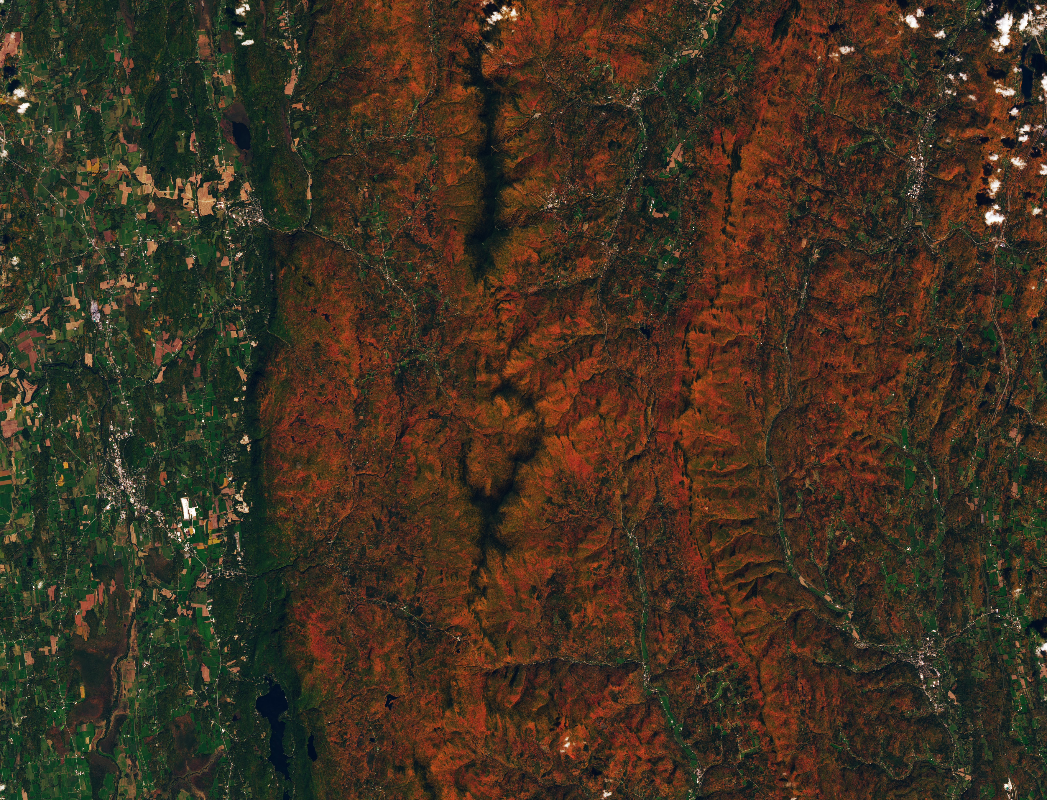
The image accompanying this article comes from another satellite: Landsat 9 on 3 October. It shows reddish forested ridges in Vermont and valleys that remain green. The orbital photograph provides a local landscape view; PACE maps use a different instrument for a different purpose. This distinction avoids presenting the Landsat image as an OCI hyperspectral product.
There are limits: ageing or harvested crops can also elevate the red signal, while clouds can leave gaps in maps. Drought and insect damage can alter pigments. The team therefore requests field photographs through GLOBE to check observations. Colour alone does not automatically identify the cause of a vegetation change.