
Japan: magnitude 6.5 earthquake has a 492 km deep focus
USGS recorded the event in the Bonin Islands region on 25 October at 02:09:23 GMT. Its depth highlights the distinction between magnitude and surface effects.
RockGeo Editorial · Published on
Event date: 10/25/2026 · Source date: 10/25/2026
Sources accessed on 10/25/2026, 15:05 GMT
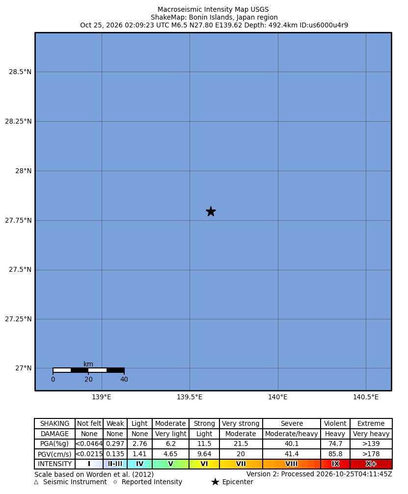
USGS / NEIC ShakeMap · Public Domain
USGS recorded a magnitude 6.5 earthquake in the Bonin Islands region, Japan, on 25 October 2026 at 02:09:23 GMT. Event us6000u4r9 had an epicentre at 27.7953° N, 139.6184° E and a depth of 492.376 km, rounded here to 492.4 km. Its moment magnitude was identified as mww. The origin solution had been reviewed, but its evaluation remained preliminary and subject to change.
The depth places the event in USGS’s deep-earthquake category: 300–700 km. The agency distinguishes this range from shallow events, down to 70 km, and intermediate events, between 70 and 300 km. That classification helps interpret the source’s position within Earth; it does not by itself describe what happened to people or buildings at the surface.
Determining depth relies on analysing seismic signals. USGS explains that phases such as pP, a P wave reflected at the surface near the focus, arrive after the direct P wave. Their time difference, combined with station distance and travel-time curves, allows depth to be estimated. This explains the method; the consulted catalogue does not establish here which specific phases determined this solution.
The reproduced map is automatic ShakeMap version 2 for this event, processed at 04:11:45 GMT. Its original heading gives the rounded depth of 492.4 km. The scale, coordinates and complete legend are preserved. The figure visualizes estimated intensity tied to a specific version and processing time; it is neither a photograph of the earthquake nor a damage survey.
USGS notes that automatic maps may contain errors and data gaps limit interpretation of contours. Estimated intensities do not replace observations of effects on people and structures. Consequences also vary with building characteristics and ground motion. This report therefore does not infer casualties, damage or tsunami conditions from the magnitude, depth or colours in the figure.