
Vanuatu records magnitude 6.9 and 6.3 earthquakes
USGS recorded two events on 24 October at 02:31:28 and 02:35:57 GMT. The official map depicts estimated intensity, not observed damage.
RockGeo Editorial · Published on
Event date: 10/24/2026 · Source date: 10/24/2026
Sources accessed on 10/24/2026, 15:08 GMT
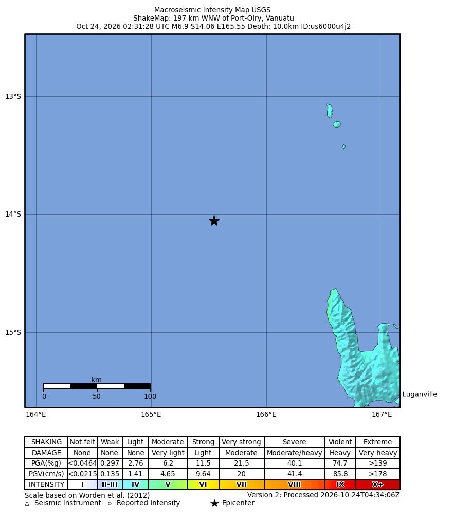
USGS / NEIC ShakeMap · Public Domain
USGS recorded a magnitude 6.9 earthquake near Vanuatu on 24 October 2026 at 02:31:28 GMT. Event us6000u4j2 was located 197 km west-northwest of Port-Olry, with an epicentre at 14.0558° S, 165.5455° E. The reported depth was 10 km. These are preliminary parameters, subject to revision as additional data are incorporated.
A second record, us6000u4jb, occurred at 02:35:57 GMT the same day, about four and a half minutes later. The catalogue indicated magnitude 6.3, a location 170 km northwest of Port-Olry, coordinates 14.0424° S, 165.8666° E, and a depth of 10 km. The two identifiers allow the solutions to be followed separately; temporal proximity is not used here to assign an aftershock classification.
The consulted origin products had human review but retained a preliminary evaluation. Both list the depth as operator-assigned, a detail that prevents treating 10 km as an independent, definitive determination. The first event used moment magnitude mww; the second used body-wave magnitude mb. We retain those classifications rather than present the values as entirely equivalent measurements.
The image is automatic ShakeMap version 2 for the magnitude 6.9 event, processed at 04:34:06 GMT. It depicts an estimated intensity distribution with the original epicentre, scale and legend. This product concerns that specific earthquake, not a sum of both records or a photograph of their effects. Its date and version distinguish it from later updates.
USGS warns that automatic maps can contain errors and data gaps affect contours. Estimated intensity does not replace observations of effects on people and buildings; impacts also depend on structural characteristics and local ground motion. This report therefore does not infer damage, casualties or tsunami conditions from map colours. The figures describe the consulted catalogue, not an assessment of consequences.