
Pacific: magnitude 6.4 earthquake southeast of Rapa Nui
USGS located the oceanic event on 29 October at 07:49:50 GMT. The 10 km depth was assigned by the operator; the data are preliminary.
RockGeo Editorial · Published on
Event date: 10/29/2026, 07:49 GMT · Source date: 10/29/2026
Sources accessed on 10/29/2026, 15:06 GMT
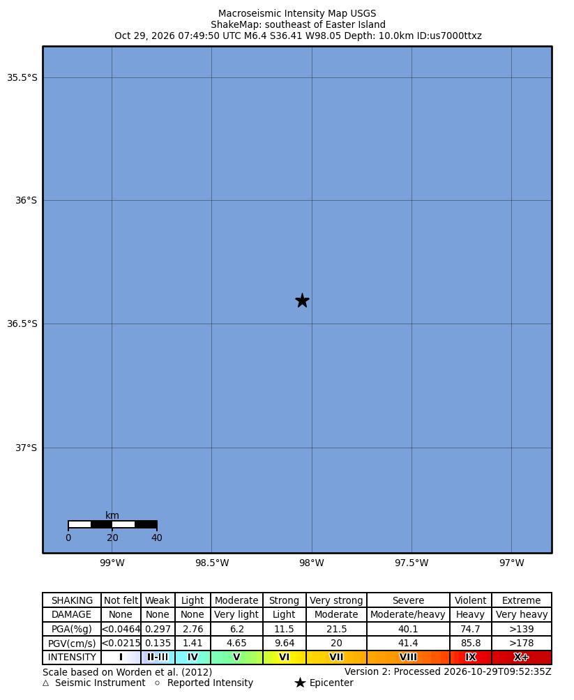
USGS / NEIC ShakeMap · Public Domain
The United States Geological Survey (USGS) recorded a magnitude 6.4 earthquake in the Pacific southeast of Rapa Nui, also known as Easter Island, on 29 October 2026. Its origin time is 07:49:50 GMT (UTC+00:00), under official event us7000ttxz. Published coordinates are 36.4058° S and 98.0489° W.
The catalogue reports a depth of 10 km, technically identified as an operator-assigned value. It should not be presented as an independent, definitive depth determination. The origin solution lists 83 stations and a horizontal error of 5.52 km. Although marked reviewed, its evaluation remains preliminary: location, magnitude and other parameters may change.
The magnitude type is Mww, a moment-magnitude estimate obtained through W-phase moment tensor inversion. USGS documentation describes this procedure for moderate to large earthquakes. Identifying the method helps compare the value with other records without automatically equating it with local magnitude or the intensity felt at a particular location.
The event also has a ShakeMap, a product representing ground motion and shaking intensity. Version 2 was processed at 09:52:35 GMT that day. The reproduced map preserves coordinates, scale and legend. It is a technical data visualization associated with the event, useful for following its documentation, rather than an ocean photograph or confirmation of effects on communities.
The traceable reference for subsequent changes is identifier us7000ttxz and its official page. This report records the consulted parameters without treating the availability of automated products as evidence of damage, casualties or tsunami conditions. Those effects were not verified for this article. Further analysis may replace preliminary data, including the assigned depth.